
From war planes to drones, The City of Calgary celebrates 100 years of photography from the sky
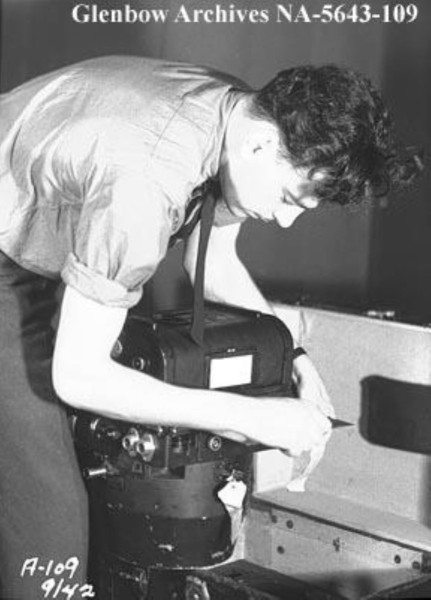
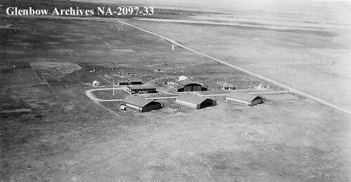
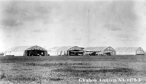
On Oct. 7, 1924, the Royal Canadian Air Force embarked on a mission that would forever change how we see our city. Over the course of 12 days, they flew along 17 flight lines over Calgary, capturing hundreds of aerial pictures with the Fairchild K-3 film camera, the most advanced aerial camera of its time. These photographs were eventually stitched together to create Calgary’s first city-wide aerial photo mosaic.
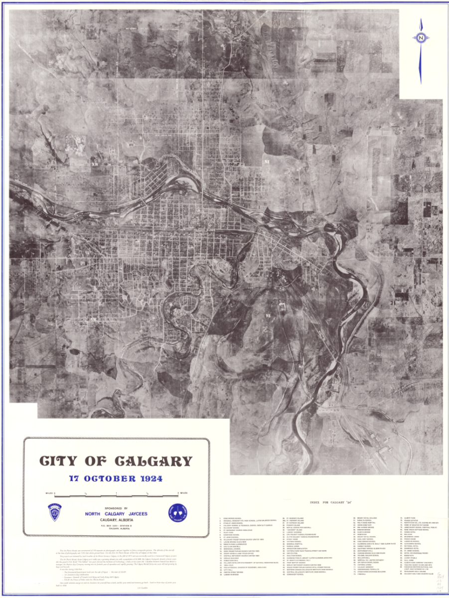
Figure 1 - City of Calgary Air Photo Mosaic, 1924, by J.A. Cuvelier
In October, The City of Calgary is celebrating the 100th anniversary of this groundbreaking achievement by reflecting on the incredible advancements in aerial photography and mapping technology over the past century. This milestone not only highlights the significant impact these tools have on our daily lives but also offers a unique perspective on the city’s growth and transformation over time.
“The advancements in aerial photography technology and techniques over the past century have revolutionized how we capture and understand our world,” says Camal Dharamdial, Project Manager of The City of Calgary’s Corporate Imagery Program. “If a picture is worth a thousand words, then an aerial photograph is worth a million. They capture moments in time and provide a clear, unbiased record of our world. Their accuracy makes them invaluable as evidence in legal cases, support for city planning and reliable for documenting environmental changes, showing the impact of actions and events with unparalleled clarity. And just as importantly, their simplicity offers a transparent and visual narrative of The City’s geographic data that anyone can understand.”
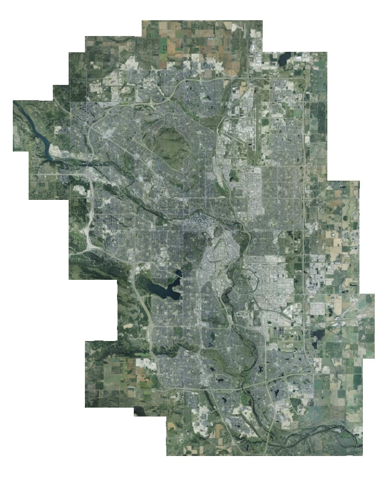
Figure 2 - City of Calgary Orthophoto Mosaic, 2023. © COPYRIGHT The City of Calgary.
Today, drones and advanced remote sensing technologies are widely used for various imaging tasks. However, airplanes remain the best option for aerial surveys due to their ability to efficiently cover large areas and carry heavy, high-resolution cameras. The City recently completed this year’s annual flight survey, and the imagery team is currently processing over 4,000 aerial photos. Once complete, the 2024 city-wide aerial photo mosaic and other annual mapping products will be made available for City and public use.
The City of Calgary has been collecting and using aerial photographs for city planning and operations since the 1960s. From planning new parks to maintaining roads, City staff rely on both current and historical images to track changes and make informed decisions about services and issues that matter to Calgarians.
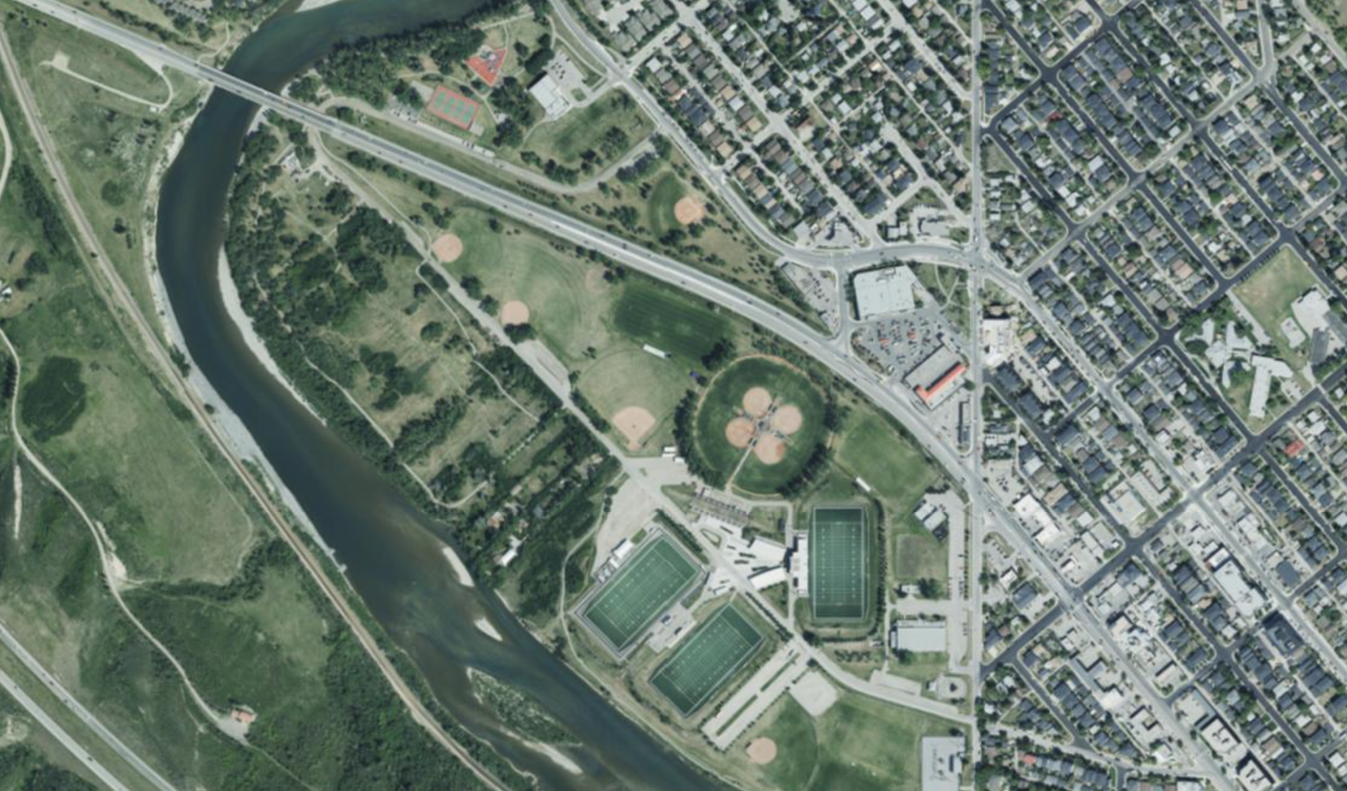
Figure 3 - Zooming in to Shouldice Park, 2023. © COPYRIGHT The City of Calgary.
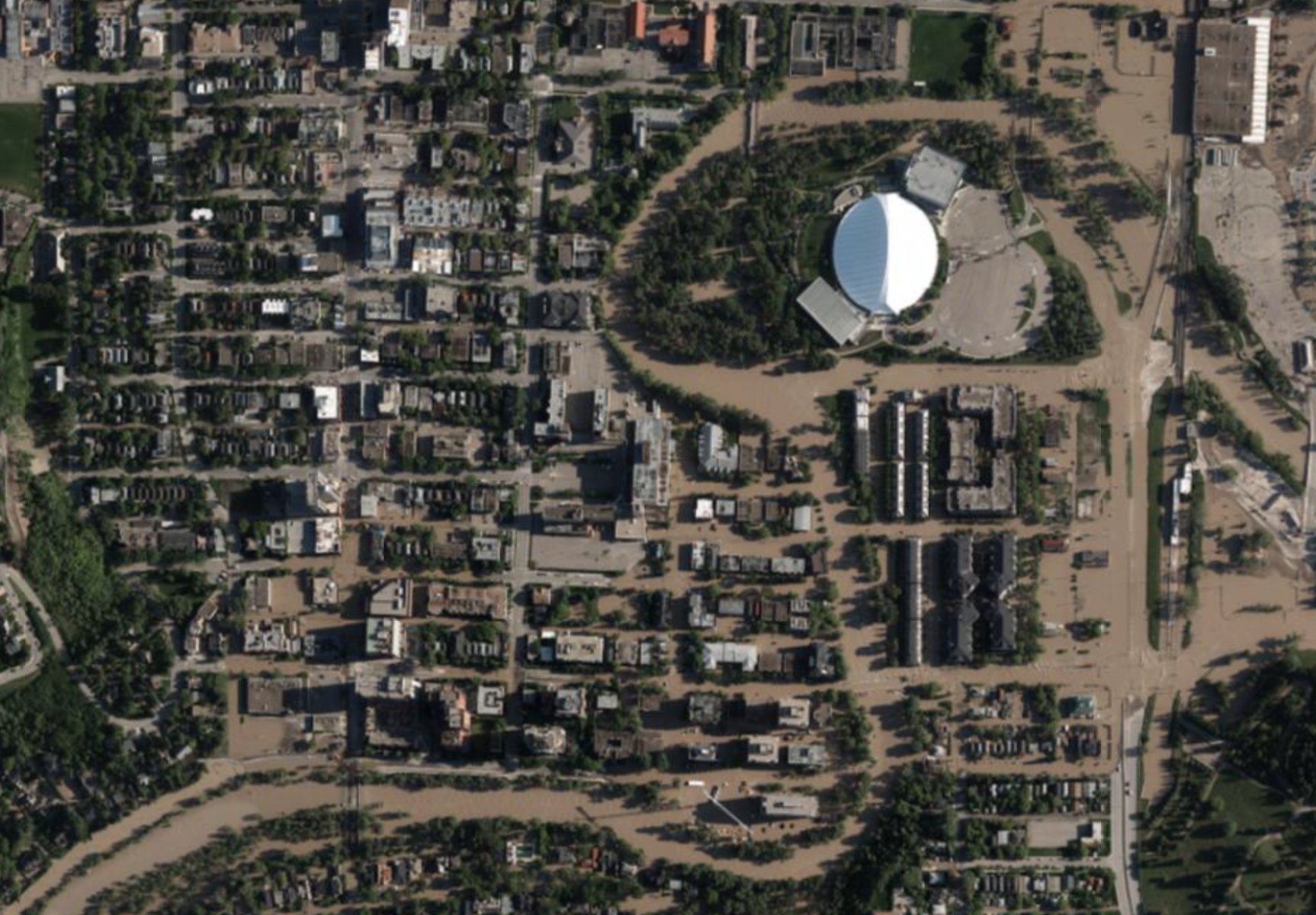
Figure 4 - Aerial Photo of Mission and Erlton Communities during the 2013 Flood. © COPYRIGHT The City of Calgary.
City planners use annual surveys to study land use and plan future projects, such as new communities, roads and recreational amenities. Emergency responders rely on these surveys to prepare for potential crises and coordinate rescue operations during floods, fires and other emergencies. Service staff use them to assess and maintain Calgary’s infrastructure, ensuring safe and accessible facilities for all Calgarians.
Beyond city operations, The City’s collection of imagery products serves as a valuable resource that fosters collaboration and transparency among citizens and industry partners. Historians, researchers, industry professionals and anyone interested in learning more about Calgary can leverage these images to explore Calgary’s rich heritage and envision an innovative, sustainable future.
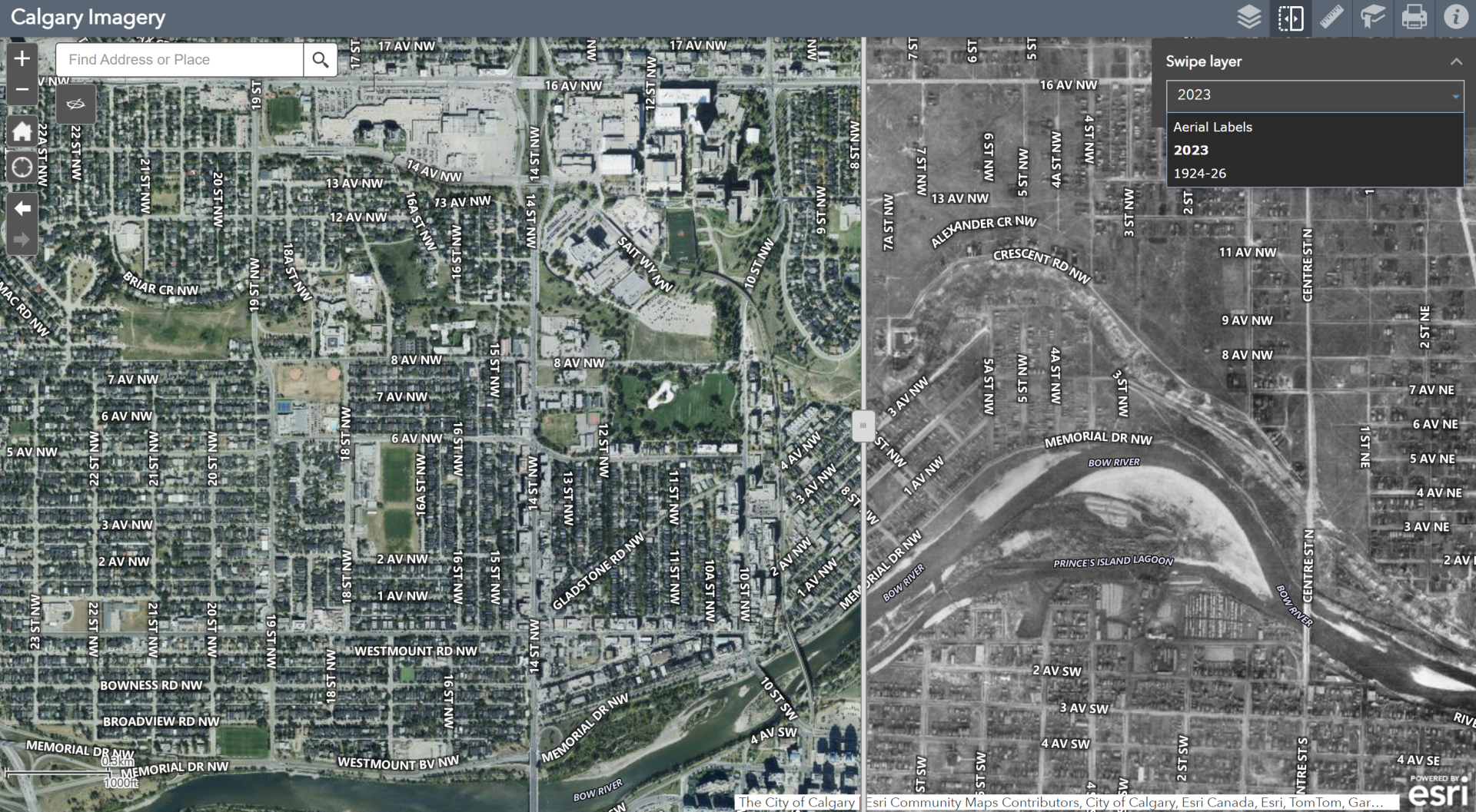
Figure 5 - Screenshot of the Calgary Imagery App : 2023 versus 1924/1926.
Discover how the city and your neighborhood have evolved over the past 100 years with the online Calgary Imagery App.
Users can compare the latest high-resolution aerial images of Calgary with the 1924 city-wide aerial survey and other historical images. Once in the app, search or navigate to an area on the map and select the years you want to compare using the layers button. Use the slider feature to compare images from two different years side by side. It’s fascinating to see just how far we’ve come and even more exciting to imagine where we’re headed next.
To learn more about this journey, watch The City’s “A Century in the Sky” video.
If you enjoy the Calgary Imagery App, explore the City of Calgary Map Gallery for additional interactive maps. Additional Corporate Imagery products, including orthophotos, digital aerial survey data, digital elevation models and 3D buildings, can be accessed through City Online and the City of Calgary’s Open Data Portal.